Navajo Sandstone
What do Zion National Park in Utah, Valley of Fire State Park in Nevada, Grand Teton National Park in Wyoming, and Dinosaur National Monument in Colorado have in common?
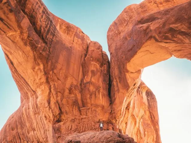
They all contain a piece of what was once the largest dune field in the largest desert that our planet has ever seen. That’s right, when you are visiting Landscape Arch in Arches National Park, or Checkerboard Mesa in Zion, you are looking at the preserved remnants of a massive field of sand dunes.
Understanding the scale of it all
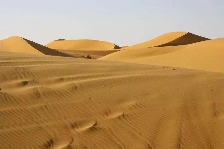
Let’s start with the modern Sahara Desert. While one might think that it is just one big sea of sand, it is actually comprised of vast expanses of dry valleys, gravel plains, rocky plateaus, salt pans, and mountains that separate the different wind-blown sand fields called Ergs. These ergs make up only about 15-20% of the area of the Sahara (about 500,000-650,000 square miles in total). The largest of these is the Grand Erg Oriental. It covers approximately 119,000 square miles, roughly the size of the country of Oman. And that’s not even the largest erg currently on our planet.
Sandstone origins in the Western United States
Let’s take a look back to the Early to Middle Jurassic at the Navajo erg 170-190 million years ago. Estimates at the original size of this erg place it around 750,000-850,000 square miles. That’s somewhere between the size of Mexico and Saudi Arabia! You could walk from the border of Arizona and Mexico into Montana, or from the eastern border of Colorado into Nevada, and you would still be in a seemingly endless sea of sand. The outcrops that we have left today cover an area of approximately 230,000 square miles, and that’s after 170 million years of erosion and general tectonic chaos.
Modern day implications
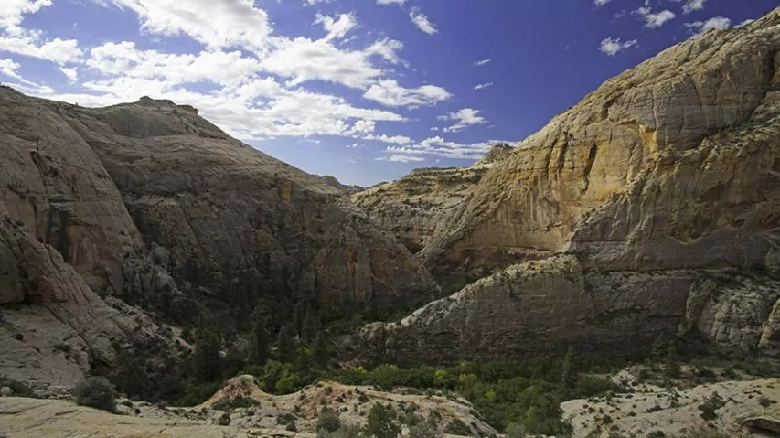
So, how did all of that sand end up in modern-day Utah, Wyoming, Colorado, New Mexico, and Arizona? Back in the early Jurassic, the area currently known as the Colorado Plateau was around 10 degrees from the equator and on the western edge of the North American continent. This was before we geologically annexed the area from California to Alaska. A cross-continental river system was depositing sediment from the eroding Appalachian Mountains in the northwest corner of our continent. Prevailing northwest winds transported sand to the Colorado Plateau region where it was captured in a basin formed by uplifting mountains to the south and west. Given a couple million years, sand piled up over 2,000 feet thick with ever-shifting dunes hundreds of feet high. Today we can see the petrified remnants of these dunes in the form of cross bedding.
from sand to stone
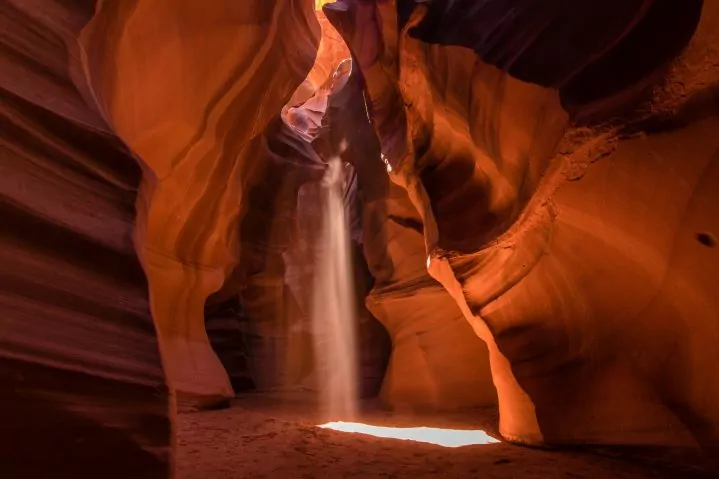
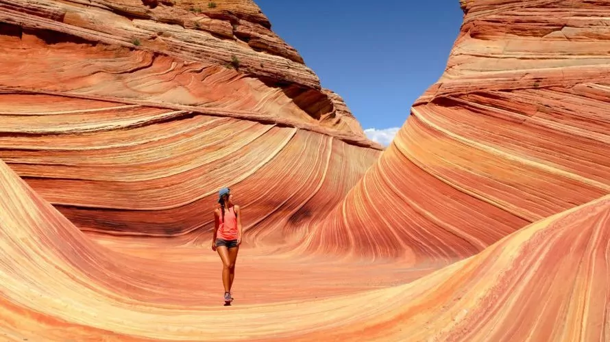
Over time, these sand dunes were covered by other sediments, fresh water, and, most importantly, shallow seas. These seas were the source for the chemical compound calcium carbonate. As mineral-laden water seeped down through the buried Navajo sands, the immense pressure of the overlying layers and the calcium carbonate cemented the sand grains together to form the sandstone that we know and love today. This groundwater, in addition to various densities and forms of oxidized iron, also accounts for the myriad colors we see in the Navajo Sandstone. Different concentrations of the mineral hematite were present in the sands that formed the Navajo Sandstone, resulting in varying shades of red, orange, vermillion, and brown. Golds and yellows are the result of another form of iron oxide called limonite. Finally, the white sandstone resulted from hydrocarbons in the groundwater seeping through the Navajo Sandstone, loosening the iron particles within the sandstone, leaving the stone a brilliant white.
The next time you find yourself among the cliffs, canyons, domes, arches, and other natural wonders of the Navajo Sandstone, look closer and try to imagine yourself in the middle of an impossibly infinite sand sea. Just don’t try sledding down any petrified dunes.


