
Best Hikes in Alaska
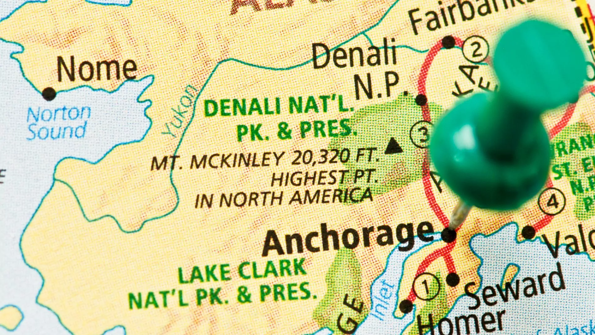
Planning a trip to Alaska, the choices of what to do and see can feel daunting. At 663,300 square miles, it is the largest state in the nation by a factor of more than two. With 8 National Parks and more than 57 million acres of federally designated wilderness, it would take forever to debate the merits of the best hikes in Alaska (let alone hike the miles!)
Since it has the greatest access and most temperate weather, let’s start by focusing on South Central Alaska. Here are the best day hikes outlying Anchorage, the state’s largest city.
Getting There
Flying into Ted Stevens International Airport in Anchorage is likely how you’ll start your vacation in Alaska. Anchorage has all the amenities you need.
These hikes start near Anchorage and then trend north along the Glenn Highway, changing to the Parks Highway after entering the Matanuska-Susitna Valley. All of them can be done in a day, including the drive back to Anchorage, or you can opt to stay in one of the lovely communities nearer the trailheads.
Weather and Trail Conditions
In the summer, highs are between the low 60’s and the low 70’s. The comfortable hiking season is short. Be prepared for sunnier days in June and July and rainy days in late July and August. Don’t hike the trails during what locals call “breakup season,” in April and early May when the trails are mucky and icy from snowmelt.
Snowshoeing and hiking in the winter will be most comfortable in late February and March when the sunlight is back after the darkest parts of winter and the coldest temperatures have subsided. The best time to see the Aurora Borealis is in the colder months. Generally between September and March.
Wildlife
Alaskan wildlife is big and abundant. On these particular hikes, you will have a chance to see black and brown bears, moose, bald eagles, marmots, lynx, and maybe even a Dall sheep or two. Your best approach to bear safety is to have every group member carry bear spray and make a lot of noise in vegetated trails with poor line-of-sight where you may surprise a bear. Don’t wear headphones.
Muktuk Marston Memorial Trail to Hunter Pass
 Mileage: 4 miles round-trip | Elevation Gain/Loss: 465’ (Arctic Valley) | Season: June-Oct. | Time: 2 hrs
This trail, finished in 2023 by a partnership between Alaska State Parks and Alaska Trails, is an excellent introduction to an Alaskan adventure. There are two trailheads to access this hike: The Arctic Valley Trailhead is about 30 minutes from downtown Anchorage. Be advised that Arctic Valley Road is unpaved and bumpy. It is $5 to park here, and you cannot use the State Parks annual pass.
The other access point is the paved South Fork of Eagle River, managed by Alaska State Parks, and accessible for a $5 daily parking fee. If you go to this trailhead, go early to avoid the crowds. There is overflow parking down the street, but after that, you will get ticketed if you park illegally in the neighborhood.
The trail travels through low tundra slopes and provides immediate views of Anchorage and the surrounding Chugach front range. This lovely moderate trail design winds gently across the vastness of iconic alpine tundra, showcasing deep valleys and even a bird’s eye view of Anchorage and the Cook Inlet. Because of the relatively high elevation (everything starts near sea level here), the trail is best hiked beginning in early June to avoid mud season and damaging the newly built tread.
Eagle River TH South Fork to Symphony and Eagle Lakes
 Mileage: 11.5 miles round-trip | Elevation Gain/Loss: ~1,500’ | Season: June-Oct. | Time: 5 hrs
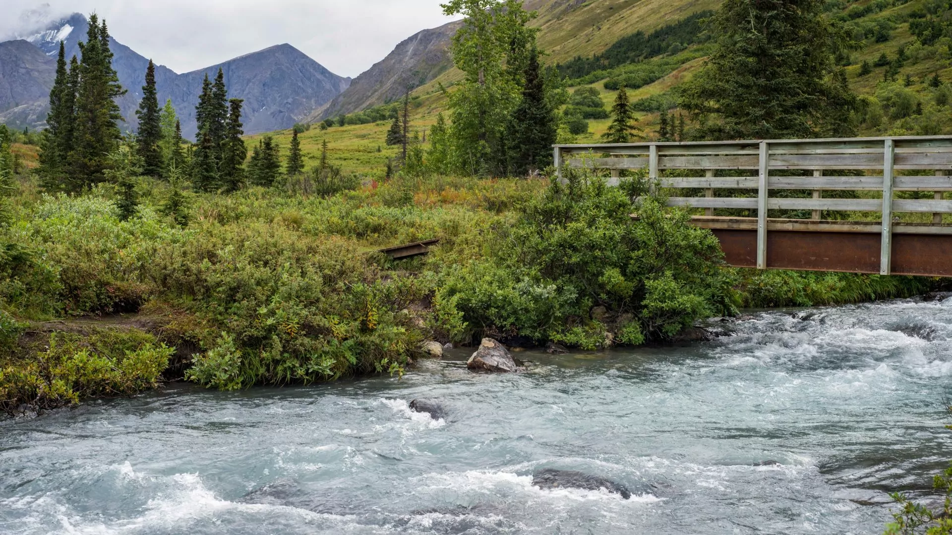
The hike begins at the South Fork of Eagle River trailhead. One of my fondest Alaska memories is simply doing an overnight backpack to Symphony Lakes during the Summer Solstice with my family and a couple of friends. Once we found a spot between a ridge that separates Eagle and Symphony Lakes, we had the help of the midnight sun to provide a view of a cirque of high peaks that crowd around these glacial lakes which shimmer emerald. There were seagulls on the shore rocks watching a couple of pack rafters float around.
Aside from this trail being great for an easy overnight trip, the 11.5-mile round trip is manageable. The elevation gain is about 1,500’ over that time and is not difficult. The hardest part of the hike is a boulder field, which you will have to navigate slowly at the end. It’s relatively easy to see where other people have gone due to faded marks on the rocks, and then there are packed dirt segments you can find that will lead to the lakes.
This hike is a highly popular trail, and you will want to start early, making sure not to park illegally in the neighborhood.
Some shorter alternatives to the hike include a stroll on easy terrain a couple of miles to the bridge that spans a picturesque glacially charged creek. You can also stay left at a fork just past the bridge and head up into Hanging Valley, less crowded than the main trail. The Hanging Valley trail is also a fun and unique trip when everything is frozen in late fall.
Snowshoe Eagle River to Echo Bend
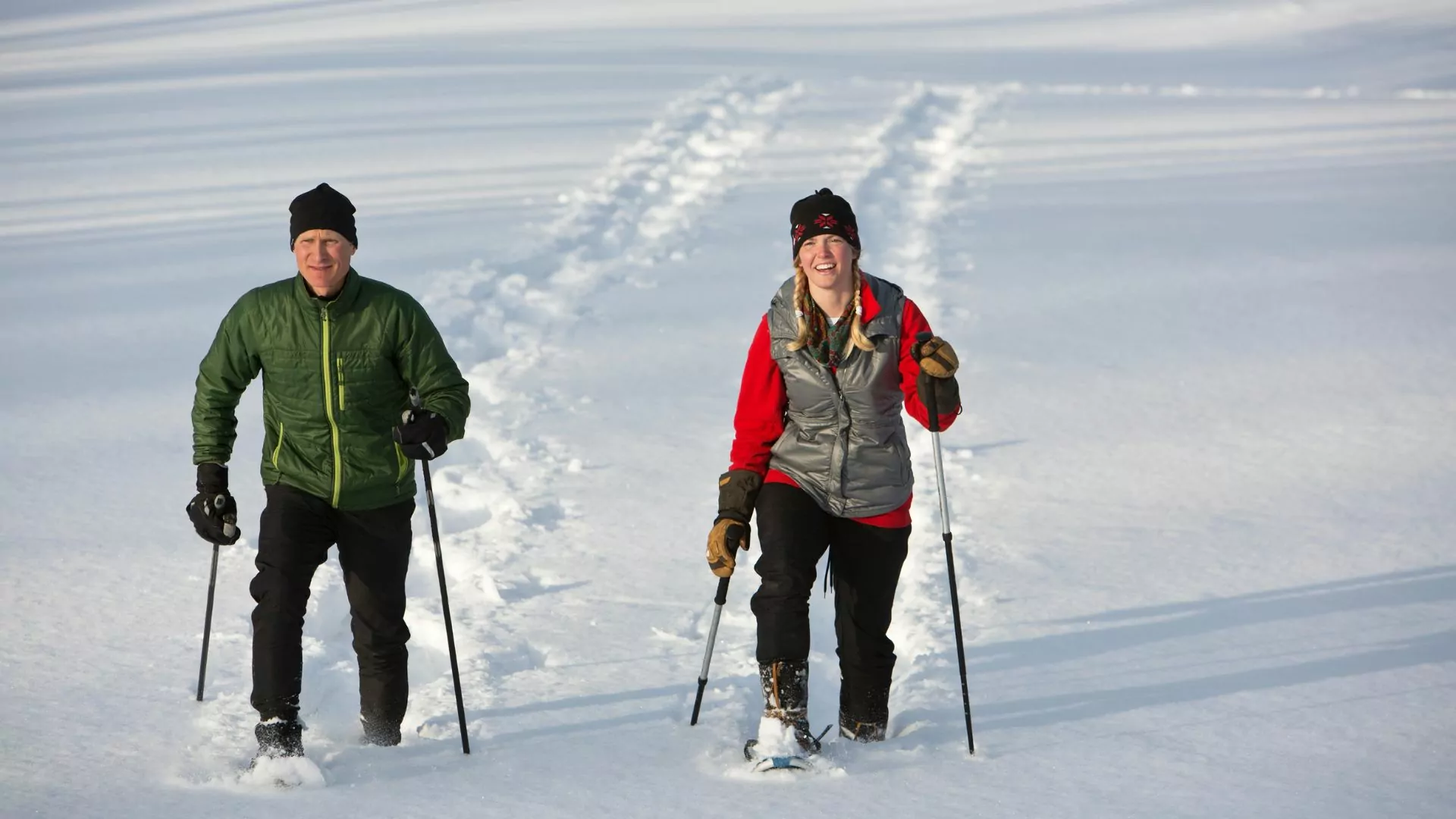 Mileage: 6 miles round-trip | Elevation Gain/Loss: ~800’ | Season: Nov.-May | Time: 3 hrs
The best time for this snowshoe hike is in the winter or early spring. In the winter, a white marshmallow world ends in a meander of the incomparable Eagle River. In the spring, the sunshine is back (hopefully!), and the frozen land is waking up from a long and deep winter. But the snowshoeing will still be good, with months of snowy base that has fallen.
After you do the hike, visit the Eagle River Nature Center to learn more about the area’s natural history and get some hot chocolate. Parking is $5 and supports the Nature Center’s programming.
Where to eat after the hike: I suggest finding a table at Pizza Man after these last two hikes near the community of Eagle River. This place has excellent pizza, a down-to-earth atmosphere, and large schooners of beer. It’s an institution
Snowshoe the Goldmint Trail in Hatcher Pass
 Mileage: 6 miles round-trip | Elevation Gain/Loss: ~600’ | Season: Nov.-May | Time: 3 hrs
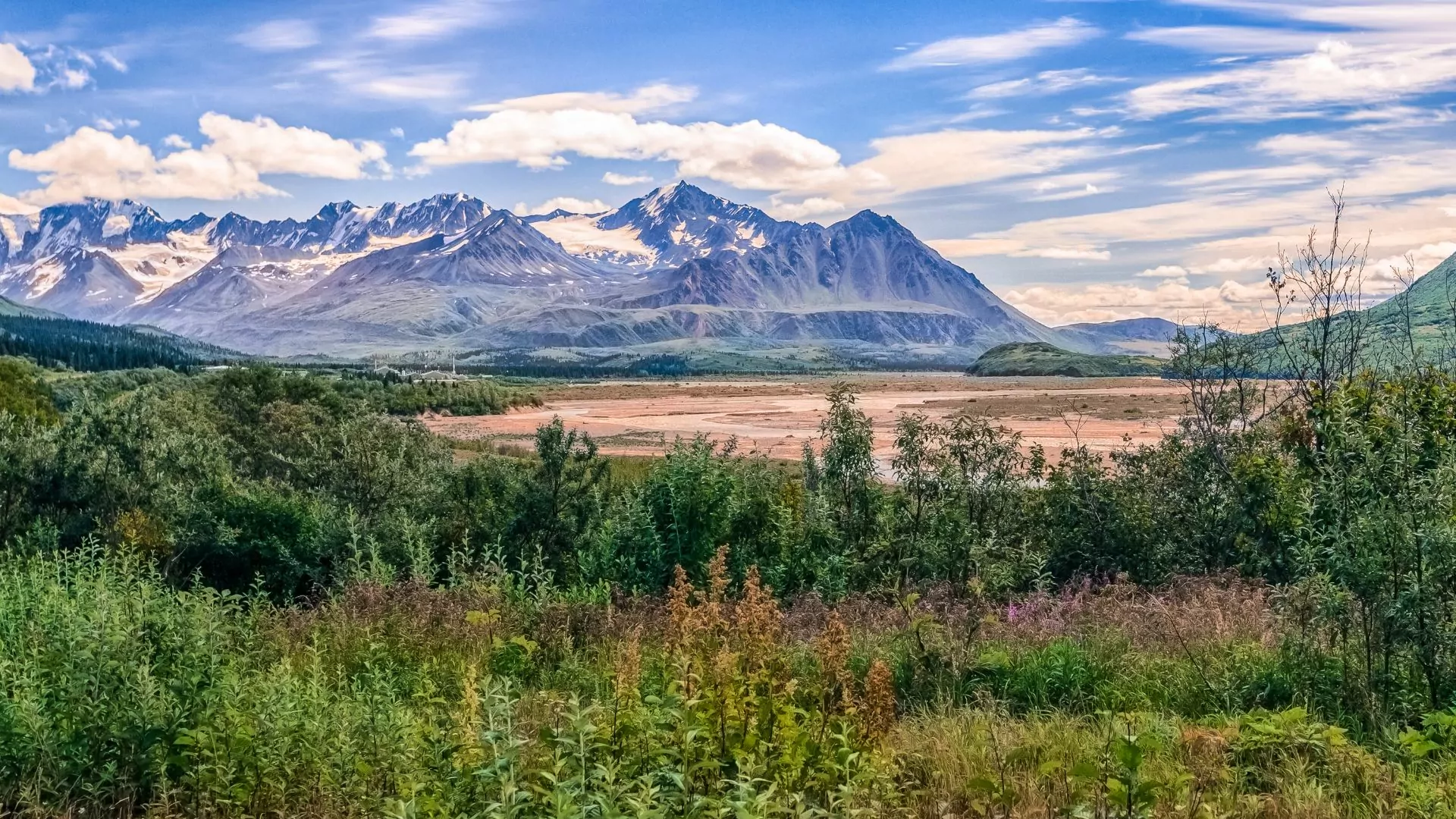
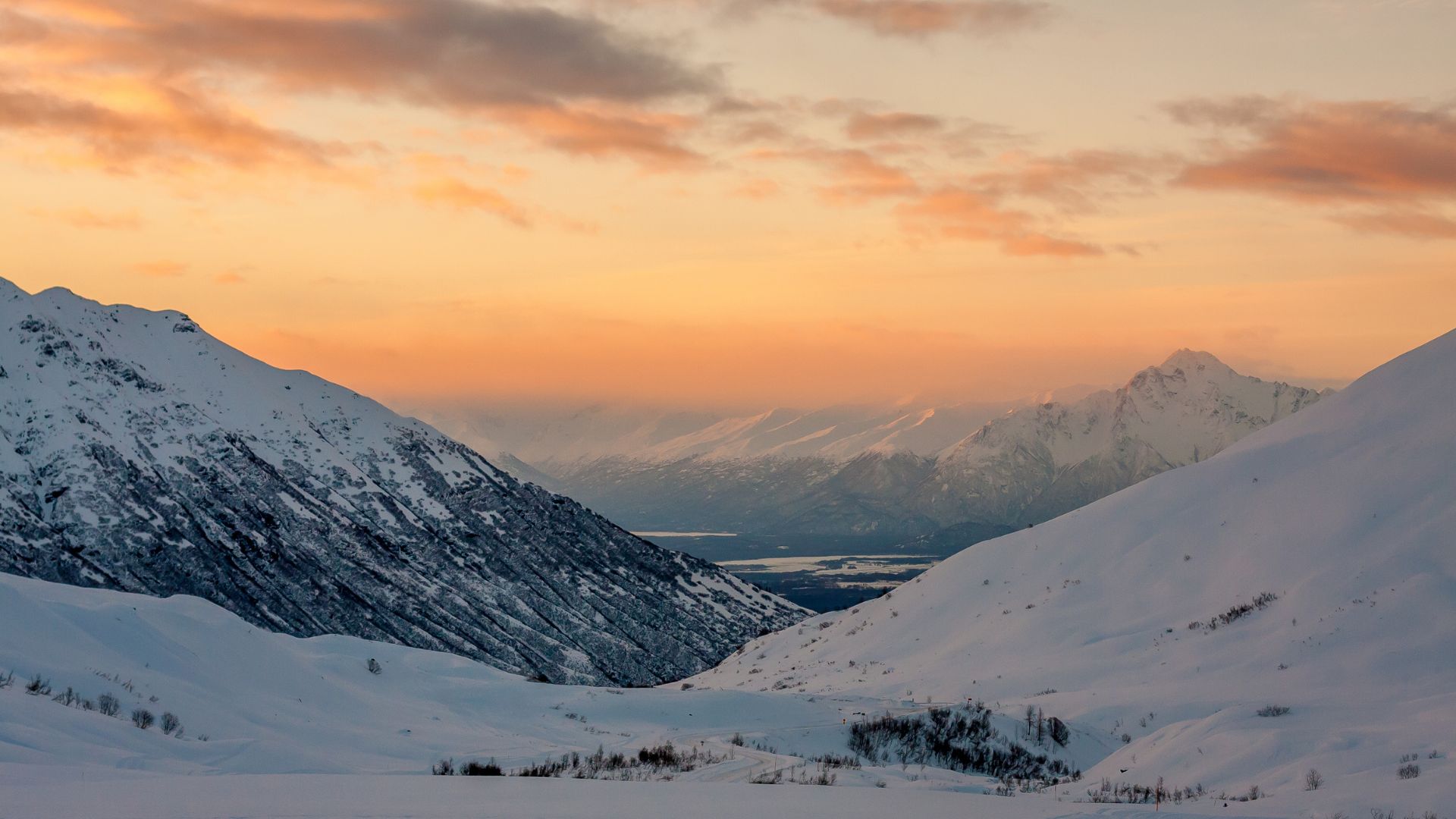
The Hatcher Pass Management Area is the jewel of the Matanuska-Susitna Borough. This hike will give you a taste of accessible high country in the winter. This hike is about an hour from Anchorage north on the Glenn Highway.
Take Palmer-Fishook Road into Hatcher Pass. The Gold Mint trail starts from the Gold Mint trailhead, which is at the first switchback before heading higher up the road. $5 parking fee or buy the Alaska State Parks annual parking pass.
The snowshoe follows the Little Susitna River valley upstream and has open and expansive views of craggy, haunting peaks almost anywhere you point your eyes. The traditional ending point for this hike is the Mint Hut, about 8 miles upstream. It’s wise not to go this far in the winter without having avalanche safety training and proper gear.
As you travel farther up the canyon, there are possible avalanche run-out areas that should be avoided. It’s safer to hike for about 3 miles up, have a snack, and head back. If you still want to enjoy the area, other winter trails around this area are the multi-use Archangel Trail and the trail leading up to Independence Mine State Historical Park. Both are accessible off the same road as Goldmint.
Where to eat after the hike: Turkey Red in Palmer sources fresh, local food from the bounty of the Mat-Su area – a place known for generations of farmers. The Mediterranean-inspired meals are so delicious people from Anchorage make the hour’s drive out to the Valley to dine.
Don’t have your own snowshoes and want to see more? Consider booking a guided hiking or snowshoe adventure in the area instead. This hike is featured in 3 different itineraries by Wildland Trekking including their Snowshoe and Northern Lights Tours (North or Southbound) and the summer alternative Heart of Alaska Inn-Based Tour.
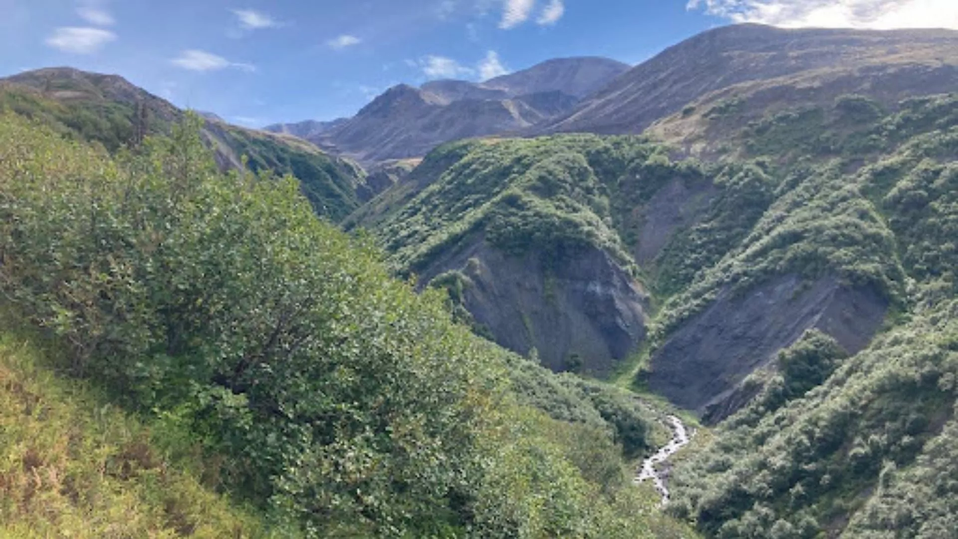
K’esugi Ridge - Little Coal Creek to Ermine Hill loop with car shuttle
 Mileage: 18.5 miles round-trip | Elevation gain: 3,400’ | Season: June-Sept. | Time: 8 hrs
Want a big hike but don’t want to backpack for 3-5 days? Walk a portion of the iconic K’esugi Ridge trail in Denali State Park from the northernmost trailhead to the midpoint – Ermine Hill.
Head north out of Wasilla on the Parks Highway about an hour and a half. If it’s summer, you’ll drive to the Ermine Hill pullout in a lush, emerald corridor for 2 hours. Drop a car here or arrange for pickup at the pull-off off to the side of the road at the end of the hike. Then, drive to Little Coal Creek Trailhead—$ 5 parking fee to Alaska State Parks.
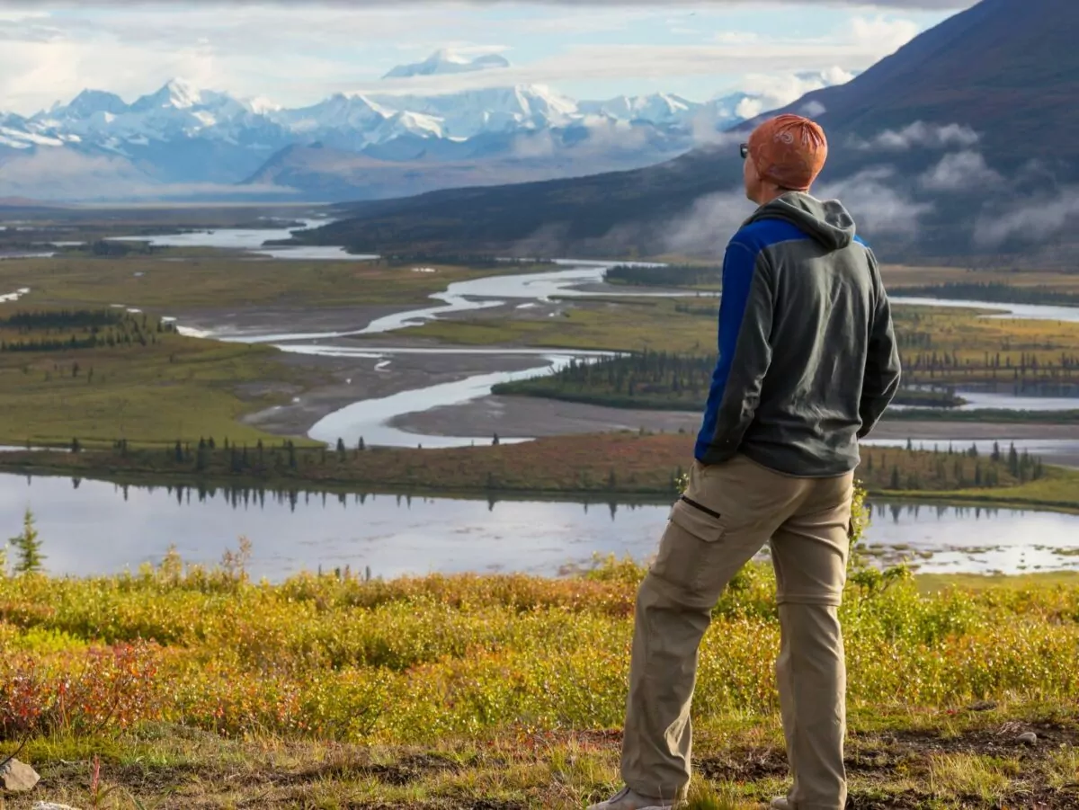
You’ll climb about 2,000’ to the top of the drainage over 6 miles. You could see marmots, eagles, moose, and maybe a bear. The line of sight above the treeline is good, but always bring bear spray in the summer and make lots of noise. As you travel south after the drainage, Denali will come into view. You have a less than 50% chance of it being a clear day, but you are giving yourself the best opportunity to see the tallest peak in North America. The extraordinary view makes this one of the best hikes in Alaska.
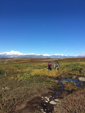 The terrain is rolling tundra until you reach the top of Ermine Hill, which boasts eccentric granitic mounds not seen in other Southcentral locations. Walk approximately 3 miles down to the Ermine Hill pullout to your car or pickup buddy.
Where to eat after the hike: Drive back south towards the delightful town of Talkeetna. Find the Flying Squirrel Bakery and Cafe off the Talkeetna spur highway. The owners are fantastic, and the staff serves world-class bread and pizza. The wait can be long, so call in your order beforehand.
If you enjoyed the hike and want to experience more, this could be a great time to consider Wildland Trekking’s guided K’esugi Ridge backpack trip.

