
The Ultimate Guide to Mount Rainier National Park
Mount Rainier dominates the skyline of western Washington in a way few mountains anywhere in the world do. On a clear day it rises abruptly from near sea level to 14,411 feet, a glaciated volcanic massif that feels like a gravitational force. From Seattle or Tacoma, it can look deceptively close, almost tame, until you try to get there, hike around it, or plan a trip that depends on weather which can change by the hour.
Mount Rainier National Park encompasses over 236,000 acres of diverse terrain, deep river valleys, old growth forest, subalpine meadows, and the largest concentration of glaciers in the contiguous United States. It is not a park to casually pass through. The distances are long, access roads can be slow going, and conditions can vary dramatically depending on a variety of circumstances. A good trip to Rainier is usually the result of careful planning, realistic expectations, and flexibility.
This Guide to Mount Rainier National Park is designed to help you do just that.
History of the Land
Mount Rainier dominates the skyline of western Washington in a way few mountains anywhere in the world do. On a clear day it rises abruptly from near sea level to 14,411 feet, a glaciated volcanic massif that feels like a gravitational force. From Seattle or Tacoma, it can look deceptively close, almost tame, until you try to get there, hike around it, or plan a trip that depends on weather which can change by the hour.
Mount Rainier National Park encompasses over 236,000 acres of diverse terrain, deep river valleys, old growth forest, subalpine meadows, and the largest concentration of glaciers in the contiguous United States. It is not a park to casually pass through. The distances are long, access roads can be slow going, and conditions can vary dramatically depending on a variety of circumstances. A good trip to Rainier is usually the result of careful planning, realistic expectations, and flexibility.
This Guide to Mount Rainier National Park is designed to help you do just that.
The Layout of Mount Rainier National Park
This guide to Mount Rainier National Park will help you to know where you’re going, as it is more important here than in many other National Parks. The park is not organized around a single central road or hub. Instead, it is accessed through several distinct regions, each with its own character, climate tendencies, trail systems, and limitations.
The primary developed areas include Paradise, Sunrise, Longmire, Ohanapecosh, and the Carbon River. These regions are connected by exterior highways rather than internal roads, meaning that moving from one area to another can take several hours of driving around the mountain.
Paradise, on the south side of the park, is the most famous and most visited area. Sunrise, on the northeast side, is the highest point in the park accessible by vehicle. Longmire serves as a lower-elevation historic center and gateway. Ohanapecosh sits in the lush southeastern corner, while the Carbon River area on the northwest is wetter, wilder, and far less developed.
Because of this layout, it’s strongly recommended that visitors choose one or two regions to focus on rather than trying to see everything. Doing otherwise often means spending more time in a car than on the trail.
How to Get to Mount Rainier National Park
 Most visitors approach Mount Rainier from the Seattle–Tacoma area, which sits about 60–90 miles away depending on your entrance. Sea-Tac International Airport is the most common arrival point by plane. Understanding access is a key part in any guide to Mount Rainier National Park.
From Seattle or Tacoma, you can access the park via several entrances:
- Nisqually Entrance (Paradise & Longmire) – The most popular and reliable access point, especially early and late in the season.
- White River Entrance (Sunrise) – Seasonal, typically open mid-summer to early fall.
- Stevens Canyon Entrance (Ohanapecosh) – Connects to the southeast corner of the park.
- Carbon River Entrance – Gravel road, limited access, no vehicle entry deep into the park.
Having your own vehicle or renting one is strongly recommended. Public transportation options are extremely limited, and once inside the park, there is no practical way to move between regions without driving.
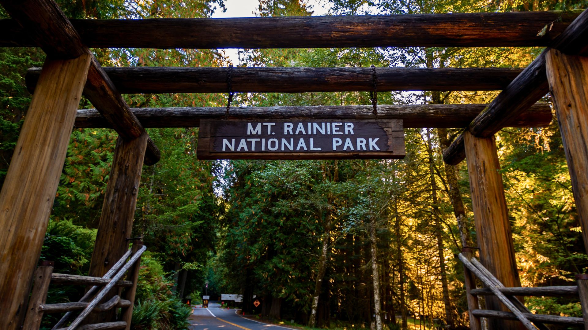
Permits and Regulations in Mount Rainier National Park
Permits at Mount Rainier are designed to protect fragile environments and manage heavy visitation. This guide to Mount Rainier National Park makes understanding permits ahead of time easy, and prevents frustration upon arrival
Entrance Fees
An entrance fee is required for all visitors entering the park by vehicle or on foot. Annual passes are available and can be cost-effective for repeat visits.
Backcountry and Backpacking Permits
All overnight trips in the backcountry require permits. Campsites are designated, and itineraries must be followed. A portion of permits are reservable in advance, while others are available via walk-up during the season.
Climbing Permits
Any travel above 10,000 feet or onto glaciers requires a climbing permit. This applies even to non-technical routes such as Camp Muir. Climbers must also submit a climbing registration and adhere to human waste disposal requirements.
Wilderness and Special Use Permits
Group size limits apply, and special permits are required for organized groups, commercial activities, or events such as filming.
Permits are not simply bureaucratic hurdles, they reflect the reality that Mount Rainier is both heavily visited and environmentally sensitive.
When to Visit Mount Rainier National Park
Mount Rainier National Park is open year-round, but access, conditions, and experience vary dramatically by season. Snowfall, road closures, and visibility play a large role, often more than temperature alone. Understanding what each season realistically offers is key in any serious guide to Mount Rainier National Park.
Summer (July to Sept)
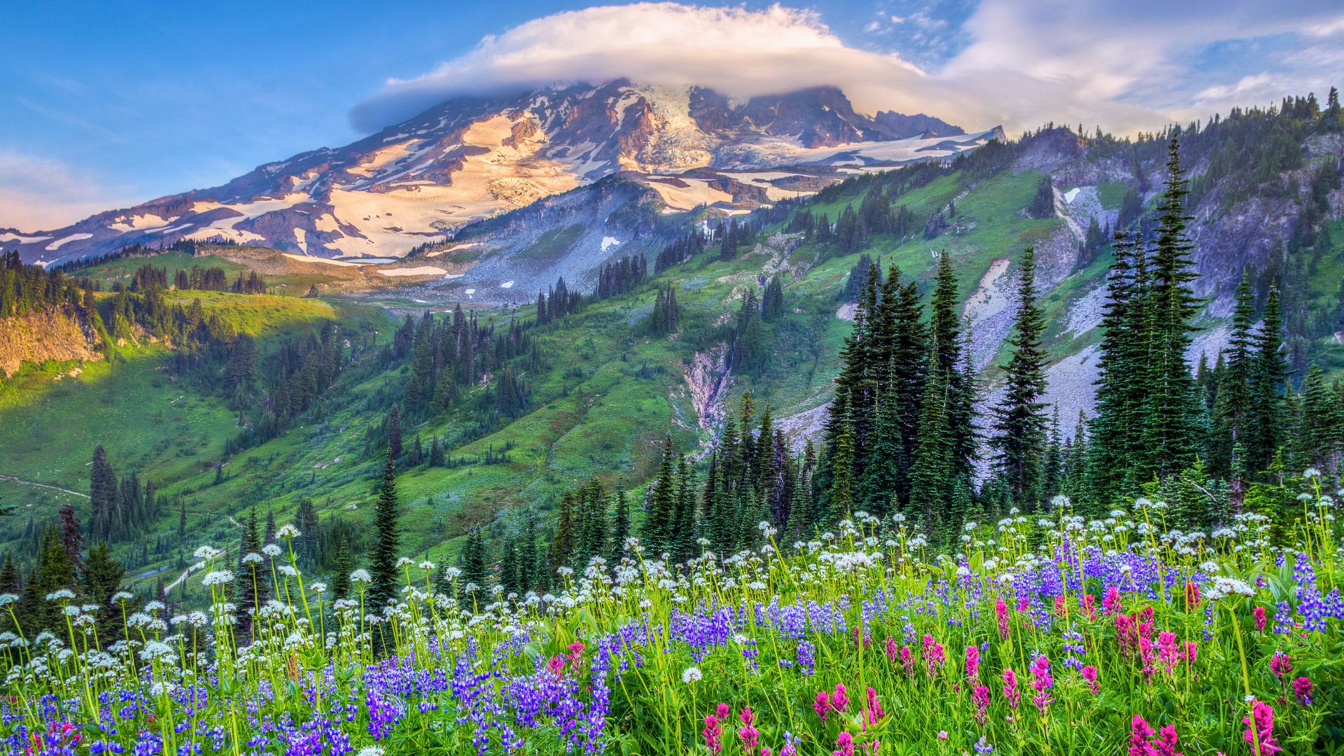
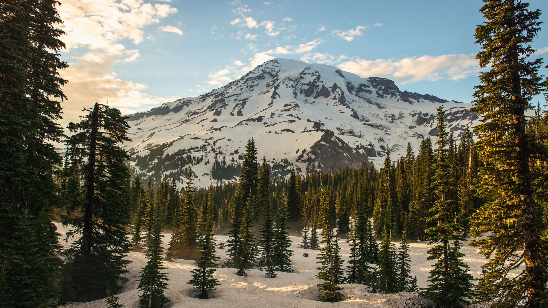
Summer is the most accessible and predictable season at Mount Rainier, and for many visitors, it is the only time when the park aligns with their expectations. Most major roads, including Paradise and Sunrise, are typically open, allowing access to high elevation trailheads and alpine terrain. Subalpine meadows come alive with wildflowers, glaciers are fully exposed, and long daylight hours make extended hikes feasible.
That said, summer is also the park’s busiest season. Paradise in particular can feel crowded by midmorning, with parking filling quickly and popular trails seeing steady foot traffic. Afternoon cloud buildup is common, and even on otherwise clear days, the mountain may briefly disappear behind a veil of weather. Snowfields often linger into July on higher trails, especially in heavy snow years, requiring traction and conservative route choices.
For first time visitors, summer offers the highest likelihood of seeing Mount Rainier in its full alpine form, but early starts, flexible itineraries, and a willingness to adjust expectations should be part of your plan.
Fall (Late Sept to Oct)
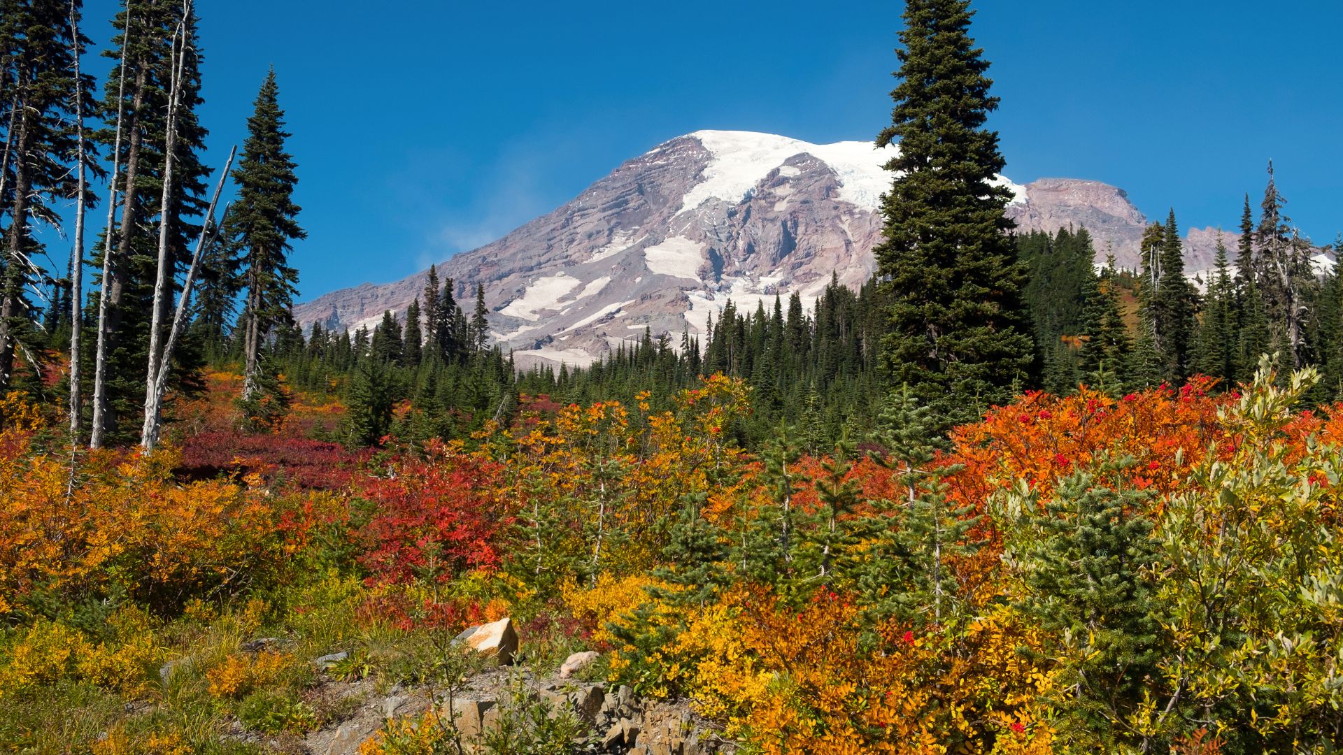
Fall is a quieter season at Mount Rainier. Crowds thin noticeably after Labor Day, and on clear days the mountain can appear especially crisp, with long sightlines and dramatic light. Lower elevations begin to show autumn color, while the upper mountain takes on a more majestic, early-winter character.
The tradeoff is uncertainty. Snow can arrive suddenly, closing roads such as Sunrise or Chinook Pass with little warning. The services scale back, daylight shortens, and temperatures drop quickly in the mornings and evenings. A planned hike may turn into a scenic drive or a shorter outing depending on conditions and tolerances.
Fall favors visitors who are comfortable with contingency planning and who value solitude and atmosphere over guaranteed access.
Winter (Nov to March)
Winter transforms Mount Rainier into a snow dominated landscape defined by accumulation rather than elevation. Paradise often becomes one of the snowiest places on Earth, with snowbanks towering over roads and buildings. Access is limited, often requiring chains, and road closures are frequent and dynamic.
While much of the park is inaccessible by vehicle, winter offers a unique experience for those equipped for it. Snowshoeing and ski touring around Paradise provide immersion into a still, monochrome world where the mountain feels distant yet alive. The weather systems move quickly, visibility can disappear, and avalanche conditions must be taken seriously.
Winter visits require preparation, humility, and conservative decisions. For those who meet the mountain on its terms, the rewards are profound, but this is not a season for casual exploration.
Spring (April to June)
Spring at Mount Rainier is a season of transition and contrast. Snowmelt swells rivers and waterfalls, forests awaken, and wildlife becomes more visible at lower elevations. Trails near Longmire and Ohanapecosh may begin to open, while the alpine remains deeply buried.
Access during spring is uneven. Roads may open to vehicles only partway, and high elevation areas such as Paradise and Sunrise often remain snow covered well into June. Trail conditions range from muddy to snowbound, and freeze thaw cycles can make footing unpredictable.
Spring appeals most to visitors who enjoy observing change rather than reaching summits. It is a time to move deliberately, stay low in elevation, and let the mountain reveal itself gradually.
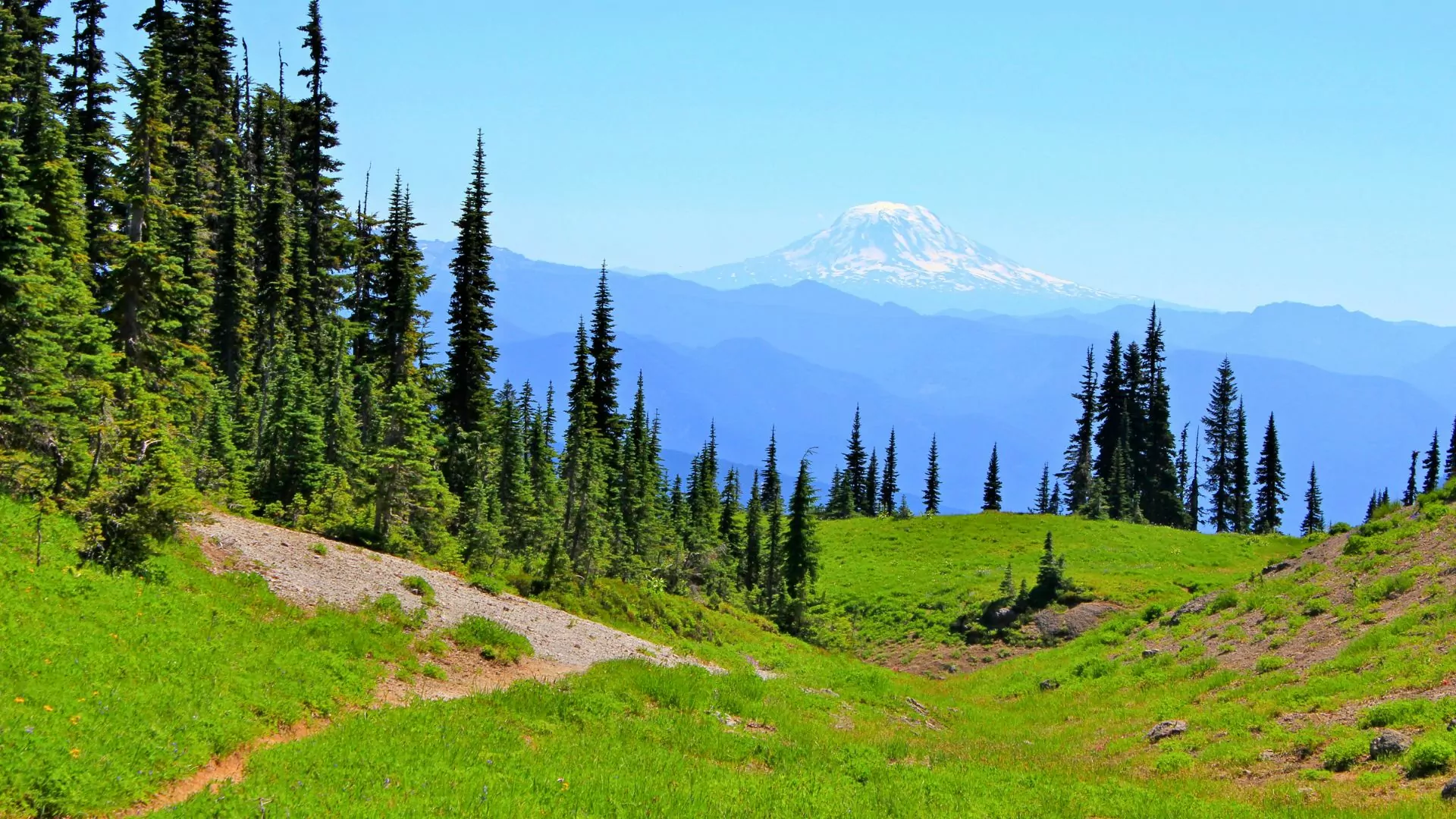
Where to Get the Best View of Mount Rainier
While Mount Rainier dominates its National Park, some of the most compelling perspectives come from beyond its boundaries and a guide to Mount Rainier National Park would not be complete without this information.
Inside the Park
Paradise offers the most iconic close-range views, particularly along Skyline Trail and near Myrtle Falls. Sunrise provides Northeastern views that emphasize the mountain’s breadth rather than its height.
Tipsoo Lake, near Chinook Pass, is one of the best places for reflection photography when conditions are calm, while Burroughs Mountain gives hikers a sense of standing face-to-face with the glaciers themselves.
Outside the Park
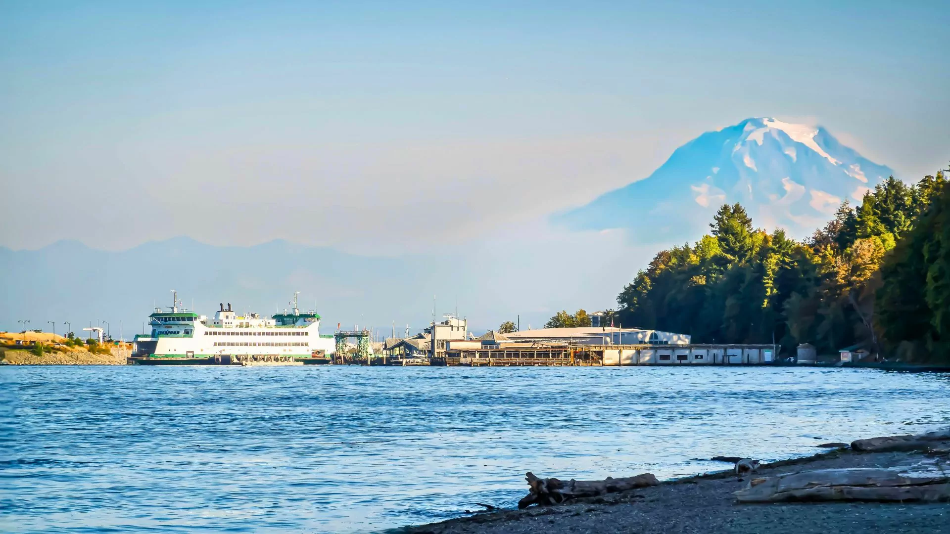
To the South, Goat Rocks Wilderness provides some of the most striking long-distance views of Rainier anywhere. From high ridgelines along the Pacific Crest Trail, the mountain appears isolated and massive, rising cleanly above surrounding terrain.
To the West, clear days from Tacoma’s waterfront or the higher ridges of the Cascades can reveal Rainier floating above lowland haze. To the north, select viewpoints along Highway 410 frame Rainier alongside neighboring volcanic peaks.
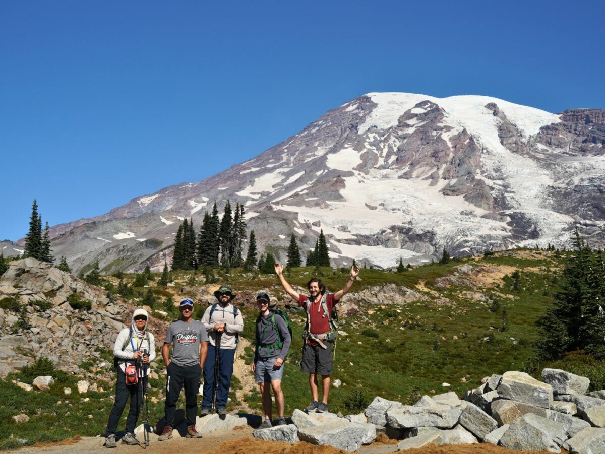
Hiking in Mount Rainier National Park
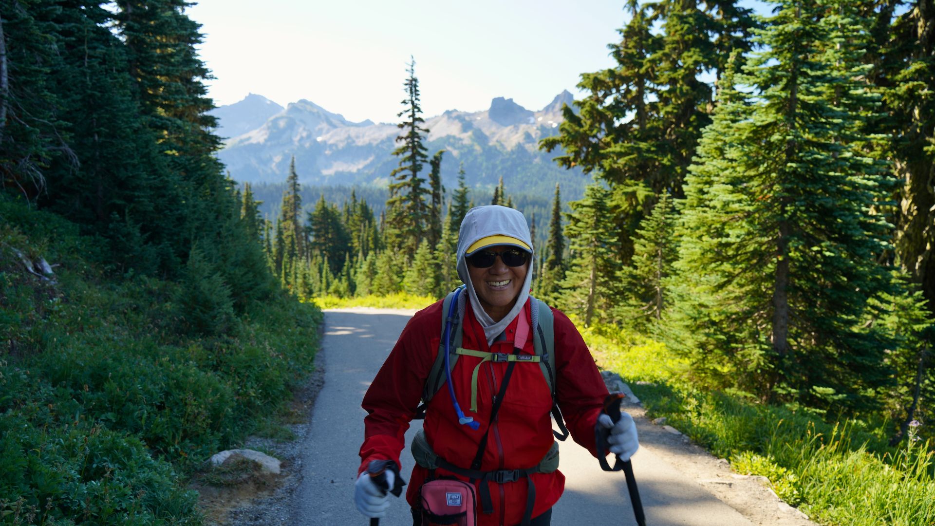
Hiking is the primary way most visitors engage with the park, and trail selection is crucial in this guide to Mount Rainier National Park.
Popular day hikes include:
- Skyline Trail: A classic loop from Paradise that showcases glaciers, meadows, and waterfalls.
- Naches Peak Loop: Near Tipsoo Lake, offering excellent views with relatively modest effort.
- Burroughs Mountain: From Sunrise, this hike provides some of the most direct non-technical viewpoints of Rainier’s north side.
- Silver Falls Loop: A lower-elevation option near Ohanapecosh through lush forest.
Trails can be snow-covered well into summer, especially above 6,000 feet. Navigation skills, traction, and conservative turnaround times are essential early in the season.
Backpacking and the Wonderland Trail
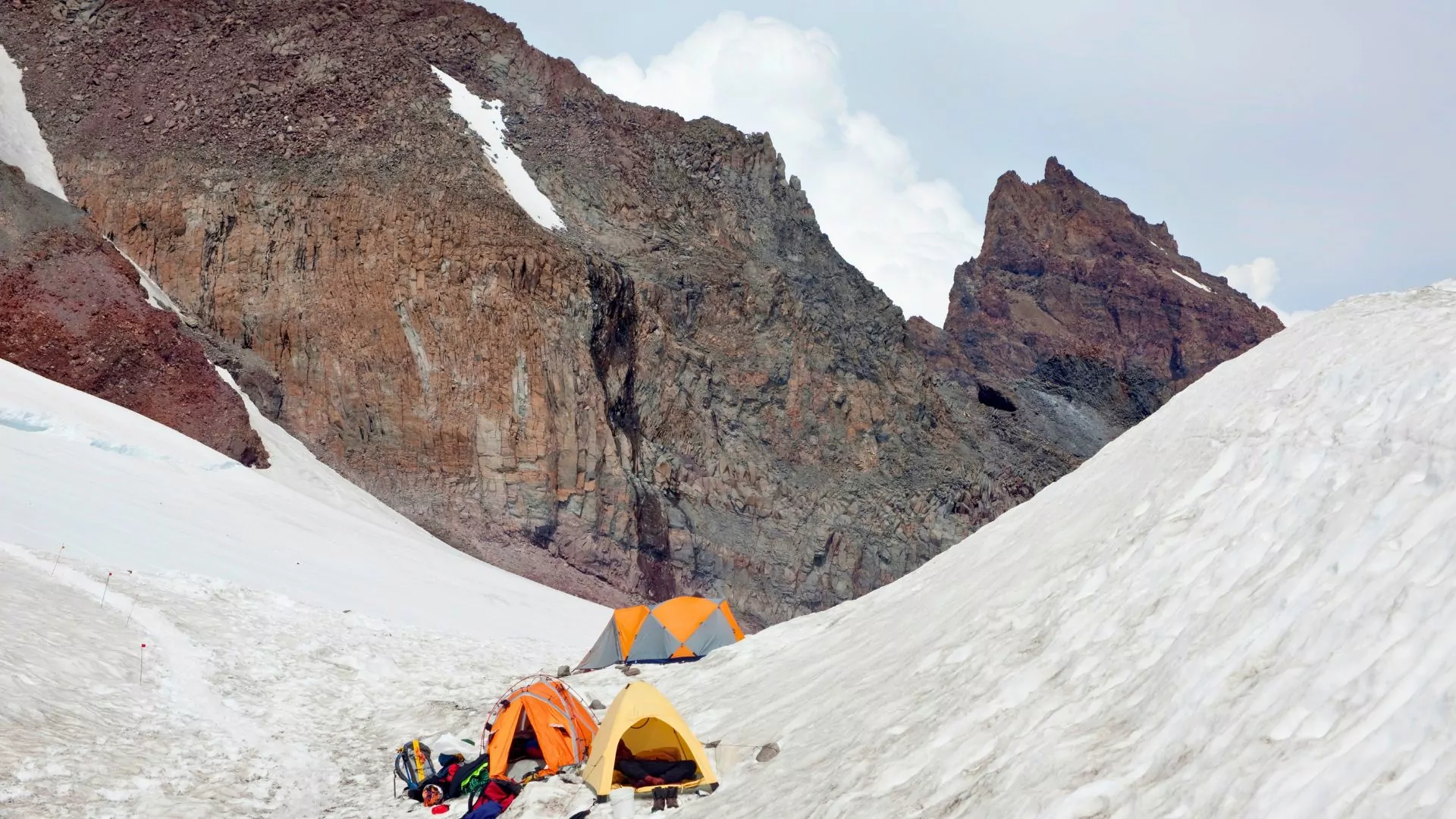
For backpackers, Mount Rainier is synonymous with the Wonderland Trail, a 93-mile loop that circumnavigates the mountain. Completing the full trail requires permits, planning, and strong legs. Elevation gain is substantial, and daily climbs and descents add up quickly.
Backcountry camping is tightly regulated to protect fragile environments. Permits are required for all overnight trips, and designated camps must be used. While competitive, the permit system encourages thoughtful itineraries and limits impact.
Beyond the Wonderland Trail, numerous shorter backcountry routes allow for overnight or multi-day trips into quieter corners of the park, especially in the Carbon River and Ohanapecosh areas.
Wildlife and Natural Hazards
Mount Rainier is home to black bears, elk, mountain goats, marmots, and a variety of smaller mammals and birds. Encounters are usually benign but require respect and distance.
Environmental hazards deserve equal attention. Weather can change rapidly, especially at higher elevations. Hypothermia is a real risk even in summer. Rivers fed by glacial melt can be dangerous to cross. Snowfields persist late in the season, and whiteout conditions are not uncommon.
Volcanic hazards exist but are rarely an immediate concern for visitors. More relevant are rockfall, icefall near glaciers, and the sheer exposure of alpine terrain.
Lodging and Camping
Lodging inside the park is limited. In addition to Paradise Inn, options include National Park Inn at Longmire and seasonal lodges near Sunrise.
Campgrounds are scattered throughout the park, with developed sites at Cougar Rock, Ohanapecosh, and White River. Reservations are strongly recommended during peak season.
Outside the park, gateway towns such as Ashford, Packwood, and Enumclaw offer additional lodging and services. Staying outside the park often means earlier starts to beat traffic and parking congestion.
Mount Rainier hiking and Camping tour
An Unforgettable Mountain
Experiencing Mount Rainier National Park is a gift one is not soon to forget. The mountain sets the terms, and your experience will depend on how well you listen.
Clear days are nice, but stormy weather is part of the landscape. Plans can change, trails can close, and sometimes the best decision is to turn around early and save something for next time.
Whether you’re standing in the wildflower meadows of Paradise, tracing distant ridgelines from Sunrise, or watching Rainier rise above Goat Rocks far to the south, the mountain leaves an impression that lasts long after the trip ends.
Plan carefully and move deliberately. For the closing thought in this guide to Mount Rainier National Park: let the mountain be what it is.
