


Pros and Cons of the Most Popular Hiking Navigation Apps

One of the most important skills in hiking is being able to read and use a map. Even if you are planning to travel on well-marked trails, using a map can add significant layers of safety, depth, and enjoyment to the hiking experience.
Good topographic maps help us hikers plan effective outings, make good decisions, and understand our position in the terrain around us. I feel more connected to my environment when I think about why trails take the path that they do. Is it to follow a ridge, a river, or are these endless switchbacks helping us get up a steep hillside efficiently? Once we develop an understanding of these geographic features, we can even plan hikes beyond trails, and for that – we definitely need maps!
I still love paper maps, and try to bring one on every multi-day trip. My favorite paper maps are waterproof, and very big, allowing me to visualize an entire landscape and comprehend where my route fits within it. Paper maps are good for dreaming up new ideas, too. But for the concrete tasks of planning trips, and following routes? I use a hiking app.
Topographic maps contain a tremendous amount of data – I like to say that one big map has more information than any book, if you know how to read it! A good hiking app provides tools that help us visualize and interpret that data; things like elevation profiles, slope shading, and lines that measure trail distance. Some hiking apps go beyond mapping and provide social tools, allowing hikers to publicly share updates about trail conditions, and see what their friends have been hiking lately.
read: How to use a topographic map
Thanks to the popularity and portability of smartphones, all of these tools are available to anyone and can be kept within arms reach while on a hike. Having been an avid user of hiking apps for 10 years now, I am amazed by the reliability of phones. I always have a backup plan in case my phone fails (this could just be a partner’s phone!), but with care, it never does. Modern smartphones are water-resistant, hard to crack, and have long battery life, making them a truly impressive backcountry tool.
Before we dive into a hiking app comparison, I’ll address a very important question: what if we don’t have cell phone service? Fortunately, all of the apps on this list allow users to download topographic maps for offline viewing (in general, this requires upgrading to the paid versions). Then, the phone can identify your location on the map within 5-15 feet even if you have no signal. This is because phones are able to get location data from satellites, not just cell towers.
Every hiking app has slightly different features. As an avid hiker and guide, I use all of these apps, but to get the most out of any hiking app requires a paid subscription, so I only pay for my favorites. If you’re new to hiking apps or looking to expand your toolbox, I’ll help you choose by comparing the most popular options below.
AllTrails
$36/year for Plus, $80/year for Peak
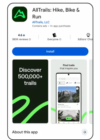
Have you ever been in a beautiful new area, wanting to go for a hike, but unsure where to go? It can be difficult to look at a big map and understand how far a loop is, how strenuous the terrain is, if it’s dog friendly, or if it will have nice views. Enter AllTrails.
At its core, AllTrails is a hiking app that reads maps for people and provides suggested hiking routes. It gives users a list of route options, and categorizes them by difficulty. For each option, it can quickly tell you if the hike is a loop or out-and-back, its elevation gain, how shady it is, if there is a water feature along the way, and more.
As a very experienced hiker, I can usually figure those things out on my own, but the feature that I love about AllTrails is the comments section. Sometimes I’m planning a hike and want to know “Does this desert canyon have any water right now?’ or “Does this mountain pass still have snowpack?”. If a hike is popular enough, recent comments on AllTrails can provide an easy answer that’s hard to get anywhere else!
Farout
$10-20 per trail
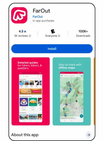
If a long-distance trail is in your plans for the upcoming year, you could use many of these apps to navigate the route and view its features. But, by far the simplest option out there is the app used by nearly every modern thru-hiker: FarOut.
FarOut stands out among hiking apps by focusing specifically on long‑distance trails. It provides detailed route guides, your current mileage along the trail, and bountiful waypoints for water sources, campsites, and resupplies. Because these types of trails are usually hiked in a particular season by a large wave of travelers, current conditions reports are often provided by those in the lead, which can be a great benefit to subsequent hikers. It also features a one‑time purchase model for specific trail guides rather than a broad subscription.
Strava
$80/year for Premium
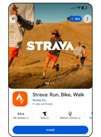
Living an active lifestyle can be easier and more rewarding if you’re not doing it alone. To keep an activity log, share your adventures with friends, and get inspired, the gold standard is Strava.
Strava is social media for athletes. It focuses on runners and cyclists, but has functionality for many other outdoor sports, including hiking. Even if you don’t think of your hikes as workouts and you aren’t trying to compete, Strava can still add value to your hiking life.
To post to Strava, you need to record a GPS track of an activity. This can be done with the phone itself, but is more commonly done with a GPS watch because they record heart rate data and are more battery efficient. Then, Strava allows you to add photos and a brief description to your activity and share it publicly, with friends only, or keep it to yourself. I love following other adventurers on Strava because I can see a feed of their outings which can give me new route ideas and allow me to keep track of current trail conditions.
Caltopo
 $20 for Mobile, $50/year for Pro
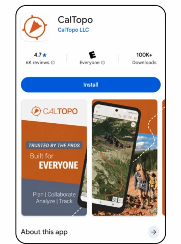
For planning complex trips or venturing off-trail in the wilderness, learning to use more advanced mapping software has been life-changing for me. Founded in 2011 for search-and-rescue teams, Caltopo has evolved into the go-to navigation app for mountaineers, backcountry skiers, and adventurous hikers alike.
Don’t be deceived by the name, Caltopo works equally well in every state! It has incredible map layers available for download, including weekly satellite imagery, public lands, slope angle shading with high resolution LiDAR data, and an easy to read topo map that shows more trails than any other hiking app I’ve found. When planning a trip, I do my research all over the internet, and compile my notes on what I find into a Caltopo map. And, for hikers who value having zoomed-in, detailed, paper maps in addition to the app on their phone, Caltopo is really the only service that makes printing these easy.
For years, Caltopo was a web-based service and the mobile app was nonexistent, then for a while it had a reputation of being an afterthought. This forced users to export data and use a different mobile app, like Gaia, to take it into the field. Luckily, those days are long gone! The company has gradually and carefully refined the app, adding features and making it very user friendly. It’s now fully functional, and as an outdoor professional I can say with confidence that if I could only have one hiking app, this would be it.
Gaia
$60/year for Premium, $90/year for Outside+
Following the opposite evolutionary path as Caltopo, Gaia began first as an excellent hiking app, then developed big-screen planning functionality later. With a winning balance of approachability and capability, Gaia has long been found on the phones of avid hikers, and earned its reputation as a useful tool. Adding data points, drawing lines, and navigating along them can all be done easily in the palm of your hand.
In 2021, Gaia was acquired by Outside, a large outdoor media company, in an effort to consolidate multiple services under a single subscription. If you enjoy reading outdoor journalism, or are interested in other services such as the excellent mountain biking app Trailforks, then paying for all of these things together could be a cost-effective option.
Onyx
 $30/year for Premium, $100/year for Elite
While OnX may seem like a new player in the game thanks to heavy marketing efforts in recent years, the company has deep roots in the outdoor app world through other product lines. OnX Hunt was launched in 2013, OnX Offroad came out in 2019, then, in 2021 came the launch of the hiking-friendly OnX Backcounty.
This divided-by-activity approach sets OnX apart, and offers some significant advantages. Hikers may love that guidebook-quality information is incorporated into some regions, perhaps resulting in a more advanced app that could rival AllTrails in its suggestions. Otherwise, OnX shares many functionalities with Caltopo and Gaia – some are better, some are worse, but really it’s just a matter of personal preference. If you’re trying to decide between the latter three hiking apps in this article, I recommend you spend some time getting to know each and choose which interface you like the best!